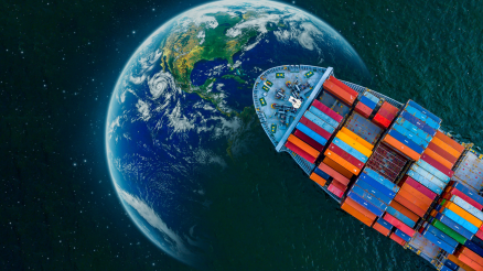
MaritIEm – a project for greener terminals
The project name “MaritIEm” stands for emission and concentration modelling in maritime transport chains. The project of the Institute of Shipping Economics and Logistics (ISL) and IVU Umwelt GmbH (IVU) is funded by the BMVI research initiative mFUND and runs since June 2020 until May 2023. We talked to the project manager Flóra Zsuzsanna Gulyás.
Hello Ms. Gulyás, what goals are you pursuing with the MaritIEm project?
The volume of traffic in port cities caused by the handling of goods is high and continues to increase. This naturally also leads to a deterioration in air quality. The emission of air pollutants has a particularly local impact on the environment and people’s health. The aim of the project is to investigate measures based on different scenarios that reduce the impact of climate gases and air pollutants from port-related activities or maritime transport chains in port cities. The effect of the measures in different scenarios will be calculated. In these scenarios, we use Bremen and Bremerhaven as model cities to demonstrate different effects of different measures. Subsequently, the question is how we can transfer these findings to other European seaports and how a new data-based methodology can be established that integrates the planned models.
Emission and concentration – what is actually the difference?
An emission is the discharge of gases or also solid substances (e.g. fine dust) by, for example, ships and other means of transport, but also by industrial plants or power plants. Concentration of air pollution is the effect of these emissions on the environment, for example on the air, the soil, the water and of course on living beings. Emissions do not only cause concentrations at the place of origin, but also at a completely different place, since they are spread over long distances, e.g. by wind. Therefore it is essential that we look at both aspects.
How do you measure that?
That’s actually a big challenge. Maritime transport chains include modes of transport both on the water (seagoing and inland vessels) and on land (transport by rail and road), with transport either moving from the sea toward the hinterland or the other way around. First, we create a routing model for these transport chains, in which we capture as accurate as possible a representation of the routes and map them with the help of the ISL-MapServer. To do this, we also take into account timetables and travel routes – a huge amount of data. From the transport routes and, among other things, data on the consumption and emissions of individual vehicles, we can calculate emissions of climate gases and air pollutants caused by the maritime transport chain.
And can you also measure concentrations?
We have IVU as a project partner for the calculation of pollutant dispersion or concentration of selected air pollutants. The determined emissions serve as the basis for dispersion modelling. Using time-resolved meteorological data (including wind direction, speed, stability of the atmosphere), a complex dispersion model is used to calculate the concentration of the relevant pollutants in the study area. For selected hotspots, e.g. in built-up areas, a screening or detailed model is additionally used to determine the exposure of potentially affected persons. The concentration values determined in this way can be compared with limit, guideline or orientation values. The quality of the entire modelling chain (routing, emission, concentration) can be evaluated by comparison with measured values of the air pollution load. Any deviations can be used to improve the entire model chain.
The project is designed to run for three years. Where are you now and how are you proceeding?
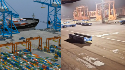
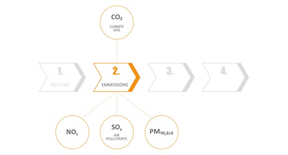
We have divided the project methodically into four phases and are currently in phase 1 here (Figure 1). This is the identification of the emission generators, i.e., all relevant means of transport and their routing. This involves detailed routing for each mode of transport and cartographic representation.

In phase 2 (Figure 2), we then calculate the emissions of these means of transport with the help of various emission factors. The calculation is differentiated by means of transport, but also by driving conditions or vehicle types.
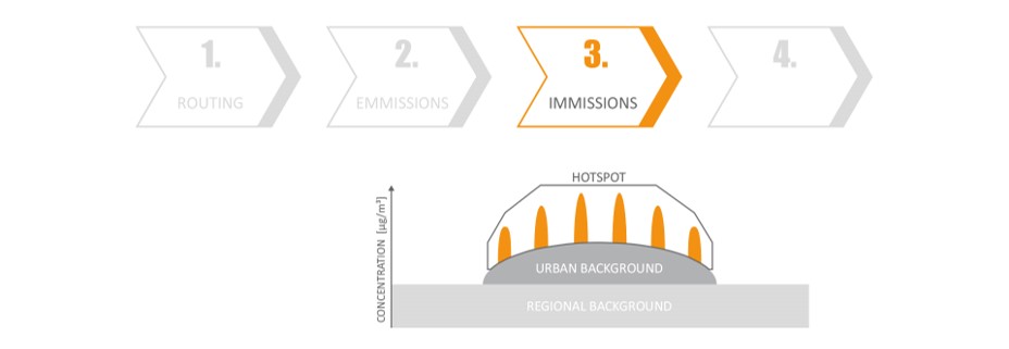
Afterwards, in phase 3 (Figure 3), we look at the concentrations. Here, we will consider additional emission sources such as industry or building heating in order to calculate the concentration of air pollution as accurately as possible.
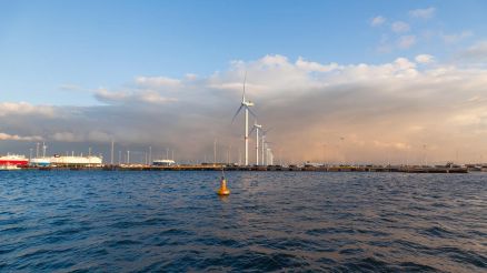
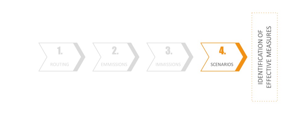
The final step (Figure 4) is to develop and compare scenarios for reducing emissions and concentrations. The possible scenarios run through in our simulation environment. For example, what happens if transport is shifted from truck to rail or if we increase the amount of shore power connections for seagoing vessels? BremenPorts as an associated partner of the project supports us in developing conceivable and feasible scenarios taking into account current technological developments.
Once the project is completed, we will hopefully be able to transfer the findings from the simulations to numerous ports in Europe, or even beyond, so that each terminal can identify its best options for reducing greenhouse gases.
What excites you personally about this project?
After all, we can no longer ignore global warming. Thinking “greener” in ports also helps to stop or slow down global warming. I am pleased to be able to play a part in this project. I’m convinced that sustainability doesn’t always have to generate costs, but can generate added value through proper planning and a thoughtful approach.
Do you think that terminal operators will also be interested in these findings?
Certainly, there are some terminals that are already working on these issues more intensively than others. But I am convinced that these approaches are important for all ports in order to remain profitable in the future. After all, a reduction in energy consumption also pays off economically through savings. In addition, there will hopefully be further legislation or economic incentives for the terminals, so that sustainability and economic efficiency do not have to be opposites. Ultimately, the two must be interdependent.
Thank you very much for the interview, Ms. Gulyás!